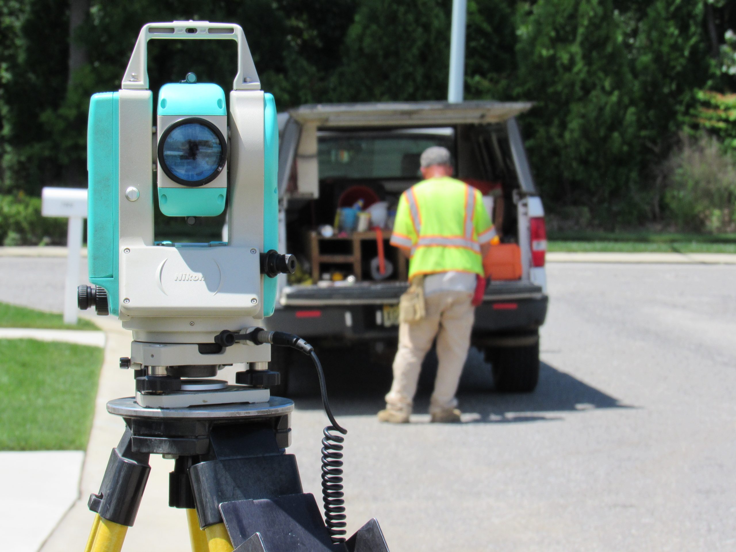
Site Survey
We are proud of the many complex surveys performed for large and small projects. Standard practices include control for photogrammetric base mapping, establishing geodetic control, ALTA surveys, road cross sections and parcel mapping. CES has the latest Global Positioning Satellite (GPS) equipment for first order surveying and can collect locations and data for Geographic Information Systems (GIS).
CES also utilizes low altitude, high-resolution aerial mapping – UAS (Unmanned Aircraft Systems – Drone technology) to obtain general locations of physical features and to provide topography across a project area. This is a quick, cost effective, and very accurate solution for surveying projects. Check out this drone video of a large tract we recently surveyed.